NASA Land Information System for Alaska – Starter Guide
Posted on: May 14, 2021
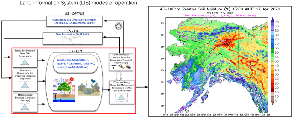
This training resource provides information and basic application of the Land Information System (LIS) setup for Alaska (AK), referred to as 'LIS-AK'. The research work for LIS-AK is within the NASA Short-term Prediction, Research, and Transition program (SPoRT). The LIS is a NASA capability which provides a framework for multiple land surface models and custom forcing data sets. The output of LIS includes a host of surface and sub-surface parameters like snow water equivalent, runoff, and soil moisture. This 'Starter Package' provides the basics of the LIS configurations for AK in order to allow operational users to begin to assess its value to daily hydrology, wildfire, and weather forecasting challenges.
Author (s): Kevin Fuell (UAH), Clay Blankenship (USRA), Jonathan Case (ENSCO), and Kris White (NWS)
Contact Time: Use as reference or 15-30 minutes for full completion
Language: English
Location: Alaska
Date of event(s): Winter 2019, Spring 2020, Summer 2021
Categories: Modeling, Hydrology/Flooding, Land/Ocean Surface, Wildfires, Model Derived
Links
(Click icon to view module)
![]()