
Other Links
|
Chaco Canyon, New Mexico Prehistoric Roadways 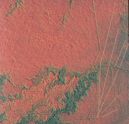 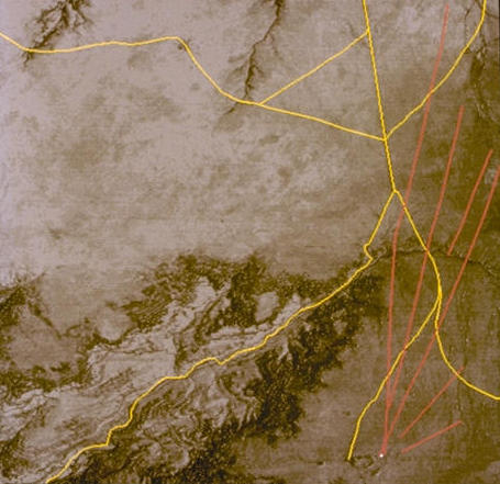 The images above, shows two false color composites of TIMS data. The Chacoan roads are the linear features fanning out from the lower right hand corner. The yellow lines are current day roadways. The current roads follow topography, and the path of least resistance in construction. Conversely, the prehistoric roads are strikingly linear. The image below combines TIMS data with topographic features. 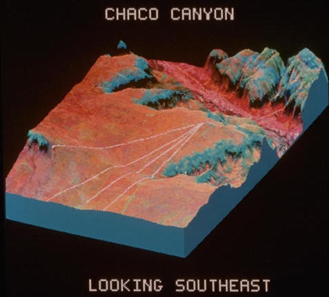
Responsible Official: Dr. James L. Smoot (James.L.Smoot@nasa.gov)
|