VIIRS Front Range Nighttime Imagery
Description:
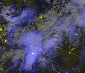
This report describes the 2013/14 assessment of multi-spectral imagery produced by the NASA Short-term Prediction Research and Transition (SPoRT) Program from the MODIS and VIIRS polar-orbiting instruments for application by its Weather Forecast Office (WFO) collaborators within the NWS Southern and Eastern Regions. NWS forecasters provided feedback via online surveys or blog posts after viewing data within their native display system for a relevant event where products were used to support aviation hazards and cloud analysis. GOES 11-3.9µm difference imagery has traditionally been used to analyze and track low clouds and fog at night to support the preparation and amendment of TAFs. The DNB and NTmicro RGB products provide additional information within a single image to increase the forecaster's awareness of cloud characteristics that apply to aviation hazards.
Participants: ABQ, BOU, CYS, TFX
Language: English
Publication Date: April 2014
Season: 1 July - 31 August 2013
Forecast Challenge: Dust, smoke, and cloud analysis at night
Categories: Multispectral Imagery, Aviation