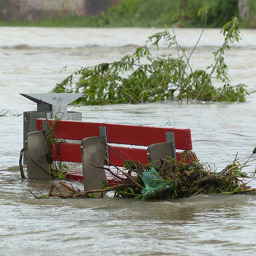
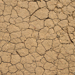
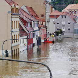
Terrestrial / Disasters
TROPICS Early Adopters with a terrestrial / disasters focus seek to use TROPICS data to improve the monitoring, modeling, and forecasting of atmospheric phenomena and hazards pertaining to the earth’s surface. TROPICS will measure precipitation location and rates at high temporal frequency, supplementing data in tropical regions that lack ground-based radar coverage. As a result, there are a number of terrestrial end-user applications that can incorporate these data into decision-making processes.
Technical Contact: Dr. Patrick Duran (patrick.t.duran@nasa.gov)
Responsible Official: Dr. Andrew Molthan (andrew.molthan@nasa.gov)
Page Curator: Dr. Patrick Duran (patrick.t.duran@nasa.gov)