Passive Microwave
Each card on this page represents a passive microwave product. Products on green cards - marked as "Evaluation Product" - are being used by at least one National Weather Service Forecast Office. For more details on any product, click the details link at the bottom of each eard. To see actual real-time data, click the real-time link at the bottom of the card.
For more information, see the Passive Microwave Overview at the bottom of this page.
EVALUATION PRODUCT
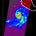
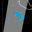
37 GHz Horizontal
For precipitation, used primarily for intensity and areal extent.
EVALUATION PRODUCT
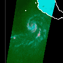
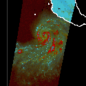
37 GHz RGB
RGB image used to detect areas of deep cloudiness, convection, and open water.
EVALUATION PRODUCT
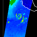
89 GHz Vertical
For precipitation, used primarily for intensity and identifying storms with high ice content.
EVALUATION PRODUCT
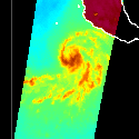
37 GHz Vertical
For precipitation, used primarily for intensity and areal extent.
EVALUATION PRODUCT
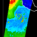
89 GHz Horizontal
For precipitation, used primarily for intensity and identifying storms with high ice content.
Passive Microwave Overview
Passive Microwave data and products from NASA's Goddard Space Flight Center are acquired to observe rain rate (GPROF) and brightness temperatures from the 36-37 GHz and 88-92 GHz channels. Among other uses, the lower frequencies help denote areal extent and the higher frequencies to distinguish between stratiform and convective precipitation. The satellite-based instruments include GMI, SSMI-S, ATMS, AMSR2, and MHS. The brightness temperature products are also used to create RGB composites.


