Modeling
Each card on this page represents a model used or developed by the SPoRT program. The model on a green card, marked as "Evaluation Product," is being used by at least one National Weather Service Forecast Office. Models on blue cards, marked as "Research," are still in development, or exist mainly for academic purposes. For more background on a model, click the link at the bottom right of the card.
For more information on the WRF model, see the WRF Overview at the bottom of this page.
RESEARCH
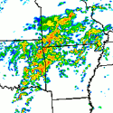
SPoRT-WRF
Real-time data assimilation and modeling system bringing together LIS, SST, and hyperspectral profile research modeling activities.
RESEARCH
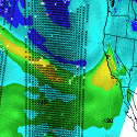
AIRS 3D Moisture Analysis
Assimilation of AIRS-retrieved thermodynamic profiles to improve analyses of total precipitable water over the Pacific Ocean.
RESEARCH
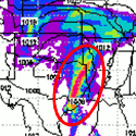
AIRS Profile Assimilation
Improved analyses and heavy precipitation forecasts with the assimilation of AIRS retrieved thermodynamic profiles into WRF using WRF-Var.
RESEARCH
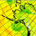
HRRRAK
Collaboration with Arctic Region Supercomputing Center to investigate impact of AIRS retrieved thermodynamic profiles in an operational forecast system.
EVALUATION PRODUCT
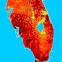
Real-time Land Information System
High-resolution land surface model output from the NASA Land Information System for initializing local NWP models and improving situational awareness.
EVALUATION PRODUCT
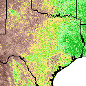
SPoRT-MODIS Vegetation Product
Real-time MODIS vegetation composites over the Continental U.S. for use in the Noah land surface model within the NASA LIS, WRF, and STRC EMS modeling systems.
RESEARCH

AIRS Radiance/Profile Comparison
Joint Center for Satellite Data Assimilation collaboration to examine impact of AIRS radiances in operational analyses using AIRS profiles as a proxy.
RESEARCH
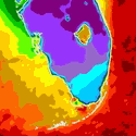
Local Model Forecasts with SPoRT SST Data
Use of SPoRT SST data to improve local model forecasts in coastal zones.
RESEARCH
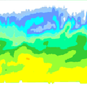
WRF Microphysics Adjustments with CloudSat
Use of CloudSat data to validate and tune cloud parameterizations within WRF model.
WRF Overview
The Weather Research and Forecasting (WRF) model is a next-generation mesoscale numerical weather prediction system designed to serve operational forecasting, atmospheric research, parameterization research, and coupled-model applications. All of these types of activities are ongoing at the SPoRT Center (see above). The WRF model has two dynamic cores: the Advanced Research WRF (ARW) and Nonhydrostatic Mesoscale Model (NMM). The system is designed to be portable, efficient, and available for parallel computing platforms. Applications with scales ranging from meters to thousands of kilometers are supported, and the system allows a user to easily run nested grids for high-resolution forecasting. Additionally, WRF contains multiple physical parameterization options that can be selected depending on the application, grid resolution, and even the weather of the day.
For more information on the WRF model, visit The Weather Research & Forecasting Model.

